
Key Findings of the Multi-Hazard Assessment
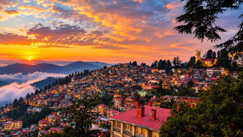
Shimla, the capital of Himachal Pradesh, is now facing a broader spectrum of natural disasters than previously recognized. A new Climate Risk and Vulnerability Assessment (CRVA) conducted by the Shimla Municipal Corporation reveals that the city is increasingly threatened by landslides, flash floods, cloudbursts, and climate change impacts, in addition to the well-known earthquake risk. The study, based on nearly a decade of data, underscores how rapid urbanization and changing weather patterns have heightened the city's vulnerability.
According to the report, a 2016 survey primarily considered earthquakes, snowfall, and hailstorms as major hazards. However, the latest assessment for the first time includes cloudbursts, flash floods, greenhouse gas emissions, population growth, and climate change as serious risks. The findings call for a comprehensive overhaul of the city's disaster management approach.
Most Vulnerable Areas Identified
The report identifies several neighborhoods as highly sensitive to disasters. These include Krishnanagar, Shiv Bawdi, Phagli, Lower Kaithu, Upper Kaithu, Samarhil, Baluganj, Tutikandi, Sanjauli, Dhalli, Bharadi, the slopes of Jakhu, and parts of Navbahar. Factors contributing to the heightened risk include steep slopes, weak geological structures, unplanned construction, hillside cutting, and inadequate drainage systems.
In recent years, landslides and ground subsidence have become more frequent. In 2023, areas such as Samarhil, Shiv Bawdi, Krishnanagar, and Phagli suffered significant damage. Similarly, in 2025, incidents of ground sinking were reported in Benmore, Krishnanagar, Himland, Panthaghati, and New Shimla. Experts warn that the combination of ongoing construction and climate change could exacerbate these hazards in the future.
Recommendations for Future Action
The CRVA report outlines several key recommendations for the Shimla Municipal Corporation:
- Develop a centralized climate database for the city.
- Conduct digital mapping of vulnerable populations and government assets.
- Perform separate risk assessments for water sources and tourism zones.
- Integrate climate risk considerations into the master plan and building regulations.
- Establish a real-time climate monitoring system.
- Conduct regular risk assessments and formulate policies based on scientific data.
Dr. Bhuvan Sharma, Additional Commissioner of the Shimla Municipal Corporation, stated that the new study incorporates flash floods, cloudbursts, and rapid population growth into the risk evaluation for the first time. He emphasized that future plans and policies will be shaped by these findings to better protect the city from potential disasters.
FAQ
What are the main findings of the new Shimla disaster risk report?
The report highlights that Shimla faces increased threats from landslides, flash floods, cloudbursts, and climate change, beyond the previously identified earthquake risk. It recommends a new disaster management policy, digital mapping, and real-time climate monitoring.
Which areas in Shimla are most vulnerable to disasters?
Krishnanagar, Shiv Bawdi, Phagli, Lower Kaithu, Upper Kaithu, Samarhil, Baluganj, Tutikandi, Sanjauli, Dhalli, Bharadi, Jakhu slopes, and Navbahar are among the most sensitive zones due to steep slopes, weak geology, unplanned construction, and poor drainage.
What does the report recommend for disaster management?
It recommends creating a centralized climate database, digital mapping of vulnerable populations and assets, separate risk assessments for water sources and tourism, integrating climate risks into building bylaws, and developing a real-time climate monitoring system.