
Key Facts
Researchers at the Indian Institute of Technology (IIT) Mandi have developed a Landslide Early Warning System (LEWS) for the Himalayan region. The system provides daily forecasts of landslide risks using real-time rainfall data and machine learning models, enabling timely evacuation and preparedness.
Details of the System
The research was led by Prof. Dericks Praise Shukla from the School of Civil and Environmental Engineering at IIT Mandi, along with research scholars Ankit Singh and Nitesh Dhiman. The system is web-based and covers the entire Himalayan region, making it one of the most comprehensive early warning systems in the country.
How It Works
- Landslide Susceptibility Map: The team analyzed about 26,000 landslide events from the Geological Survey of India (GSI) database to create a susceptibility map using ensemble machine learning models.
- Rainfall Data: The P-Rail (rainfall-induced landslide probability) model uses seven rainfall parameters from NASA's Global Landslide Catalog and IMERG satellite data.
- Daily Forecast: The model generates dynamic forecasts based on rainfall data from the past 15 days, integrating susceptibility maps and probability analysis.
Impact and Benefits
The system issues location-specific alerts, allowing disaster management agencies and local administrations to plan evacuations and relief operations in advance. Prof. Shukla emphasized that satellite-based early warning systems are among the most effective tools for disaster risk reduction, as they convert scientific data into timely decisions.
What Readers Should Know
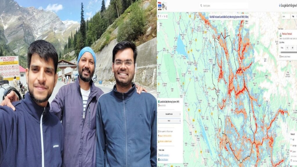
For user convenience, the IIT Mandi team has developed a Google Earth Engine-based web portal. Users can view current and past three days' landslide forecasts, download PDF bulletins, and receive WhatsApp alerts for selected locations. This system strengthens disaster preparedness and risk mitigation in the Indian Himalayan region, especially during the monsoon season.
Frequently Asked Questions
What is the landslide early warning system developed by IIT Mandi?
It is a web-based system that uses real-time rainfall data and landslide susceptibility maps to forecast landslides daily and issue alerts for high-risk areas in the Himalayan region.
How does the system predict landslides?
The system uses a P-Rail (rainfall-induced landslide probability) model with seven rainfall parameters from NASA's IMERG satellite data, combined with a landslide susceptibility map created from 26,000 past landslide events.
Who can use this early warning system?
The system is designed for disaster management agencies, local administrations, and the public. It provides daily forecasts, PDF bulletins, and WhatsApp alerts for selected locations.