Category: News
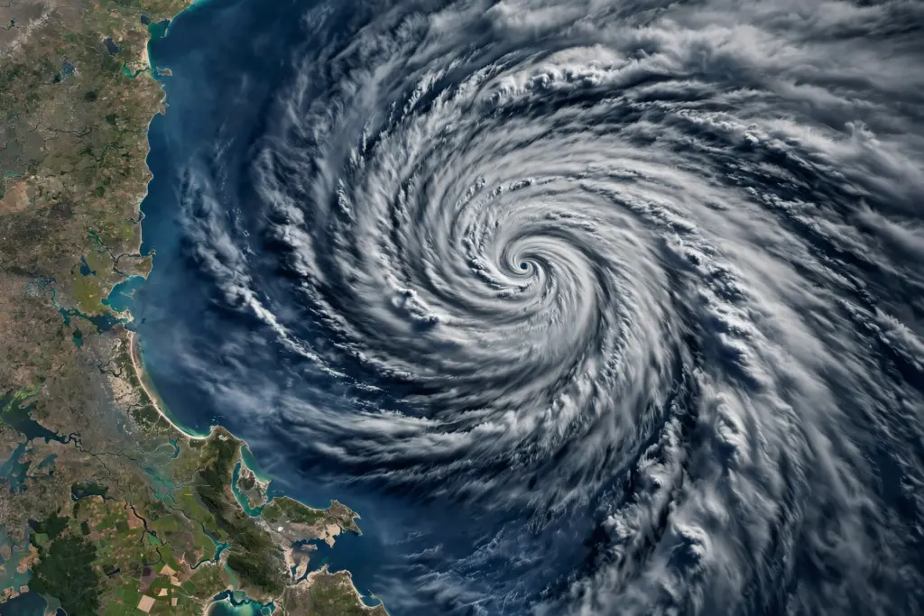
Severe Cyclonic Storm Murasu crossed the south Andhra Pradesh coast near Ongole in the early hours of 3 November 2026 and has since weakened into a depression. The India Meteorological Department (IMD) is now watching a new weather system that could form over the Bay of Bengal around 13 November.
Murasu: what happened
- Landfall: Murasu crossed the south Andhra Pradesh coast between Nellore and Narsapur, south of Ongole, between midnight of 2 November and the early hours of 3 November 2026, as a severe cyclonic storm.
- Wind speed at landfall: 100–110 kmph, gusting to 120 kmph, according to the IMD.
- Rain: Heavy to very heavy rainfall at a few places and extremely heavy rainfall at isolated places over coastal Andhra Pradesh on 2 and 3 November, and heavy rain at isolated places on 4 November.
- Weakening: By 4 November, the system had weakened into a depression over east Telangana and adjoining coastal Andhra Pradesh, moving nearly northwards. The IMD expected it to weaken further into a well-marked low-pressure area, though heavy to very heavy rainfall, squally winds and localised flooding remained a concern.
- Disruption: More than 20 flights were cancelled because of the cyclone threat, and fishermen were advised not to venture into the west-central and adjoining north-west Bay of Bengal until 4 November.
Murasu was the second cyclonic storm to form over the Bay of Bengal this season, following Cyclone Arnab, which affected the east coast the previous week. In West Bengal, the system brought only scattered light to moderate rain, and no landfall was expected in the state. Southern districts of Odisha received heavy to very heavy rainfall on 3 and 4 November.
What is next: a possible Cyclone ‘Akvan’
The IMD’s North Indian Ocean Extended Range Outlook for Cyclogenesis, reported on 6 November, says an upper-air cyclonic circulation is likely to develop over the south-east Bay of Bengal and adjoining Andaman Sea around 11 November. Under its influence, a low-pressure area is likely to form over the south-east Bay of Bengal around 13 November.
The outlook gives a low probability — between 1% and 33% — of the system intensifying into a depression over the south-west Bay of Bengal around 15 November. If it eventually intensifies into a cyclonic storm, it will be named Cyclone ‘Akvan’. The IMD has said it is too early to discuss a possible track, because the low-pressure area has not yet formed.
No damage totals for Cyclone Murasu are stated in this post, as no verified official figures are available yet.
Sources: India Meteorological Department, National Bulletin No. 14 (BOB/09/2026), 2 November 2026; Vajiram and Ravi, 4 November 2026; Sambad English, 6 November 2026; WorldEyes, 1 November 2026; Jazzbaat 24, 2–6 November 2026.
Related articles on HimachalGovt
- Himachal Weather: Dry Till 9 November, Rain and Snow Likely on 10–11 November — https://himachalgovt.com/stories/himachal-diwali-week-weather-dry-till-9-november-rain-and-snow-likely-on-10-11-november
- Manali in November: Rohtang Open, Snow Likely from 10 November — https://himachalgovt.com/stories/manali-november-rohtang-open-snow-10-november
- Spiti Valley Winter 2026–27: Shimla–Kinnaur Road to Kaza Guide — https://himachalgovt.com/stories/spiti-valley-winter-2026-27-shimla-kinnaur-road-kaza-guide